A sharper view of flood risk
Extreme weather patterns and regions at risk of flooding could be easier to spot using a new statistical model for large spatial datasets.
Extreme weather patterns and regions at risk of flooding could be easier to spot using a new statistical model for large spatial datasets.

Transforming spatial statistics to capture the skewness and tail of the statistical distribution gives a clearer picture of weather and climate data.
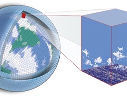
A universal high-performance computing interface allows popular statistical tools to run efficiently on large geospatial datasets.
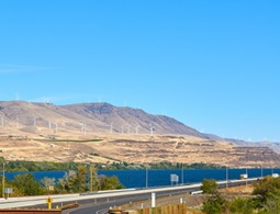
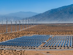
Better prediction of extreme winds at sparsely observed locations could help optimize the design of wind farms.
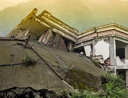
Areas without earthquake monitoring systems could model the tremors by using data from local landslides.
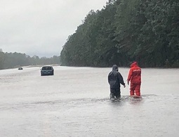
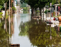
A more accurate and efficient method of capturing the local factors that lead to extreme rainfall enables better flood prediction across larger regions.
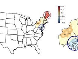
More accurate detection of hotspot clusters provides new insights into the behavior of air pollution.
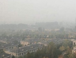
The spatial variation in different air pollution components helps identify possible targets for pollution control.

Pyramidal graphs resulting from statistical analyses of EEG recordings can improve our understanding of epileptic seizures.
Automatic detection of uncharacteristic data sequences could change the way data is processed and analyzed.
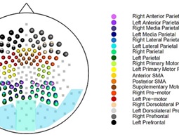
The latest statistical methods from research on complex high-dimensional environmental data also yield powerful tools for interpreting brain activity.
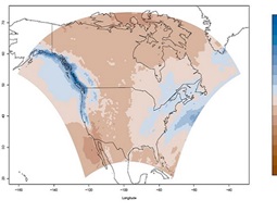
A more accurate way of resolving spatial patterns in weather could lead to better predictions of climate change.