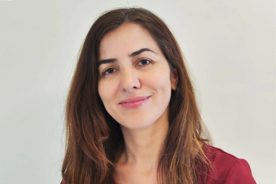
Assistant Professor Paula Moraga has authored a new textbook on spatial data science

KAUST Assistant Professor Paula Moraga has authored a new book, Spatial Statistics for Data Science: Theory and Practice with R. The book is a collection of her lectures over several years, and serves as a valuable resource for people working with geographical information. Dr. Moraga is a fervent advocate for open science and reproducible research and made her book available for free on her website. It is also available as a hardcopy for a fee through the publisher website.
Dr. Moraga leads the Geospatial Statistics and Health Surveillance Lab at the University. There, she manages a team developing statistical methods and computational tools for geospatial data analysis and heath surveillance. Her statistical models and open-source software have helped reduce the burden of malaria in Malawi and leptospirosis in Brazil. They have also assisted in identifying high risk populations that require customized interventions and evaluating the effectiveness of those interventions. Such efforts are the reason why earlier this year she received the prestigious Letten Prize at the Norwegian Academy of Science and Letters.
"I provide tools to national health organizations for the best of use of data to reduce inequalities and improve the health and quality of life of all populations," she said of her work.
Dr. Moraga joined KAUST in 2020 after a journey that was circuitous both geographically and academically. She studied mathematics for her undergraduate and doctorate degrees in her homeland of Spain, but in the midst of her doctorate studies, she moved to Harvard to study biostatistics, where she earned a master's degree. She has also worked in Australia and the United Kingdom.
This is her second book. The first, Geospatial Health Data: Modeling and Visualization with R-INLA and Shiny, informs readers about statistical techniques to quantify disease burden, elucidate geographical and temporal patterns, and identify risk factors.
The second book was written for students, researchers, and practitioners in the whole spatial data science community and includes applications for the study of air pollution, species distribution, and crime mapping.
"The methods presented in the book can be used to understand patterns of health outcomes and risk factors, monitor and manage natural resources, analyze demographics, design cities, preserve endangered species, and rapidly detect infectious disease outbreaks," she said.
Her next challenge is to integrate social media and other real-time data into her models. This information is expected to bring faster awareness of disease dynamics and responses to potential outbreaks. Having used her techniques for problems based in other countries, she is especially eager to build a strong network of domestic collaborators to test her models on local initiatives.
"I will develop a surveillance system that augments the precision of traditional systems by integrating multiple digital and geospatial data sources. This system will help improve public health decision-making in Saudi Arabia and elsewhere, leading to a healthier and more sustainable future," she said of her research plans.

