

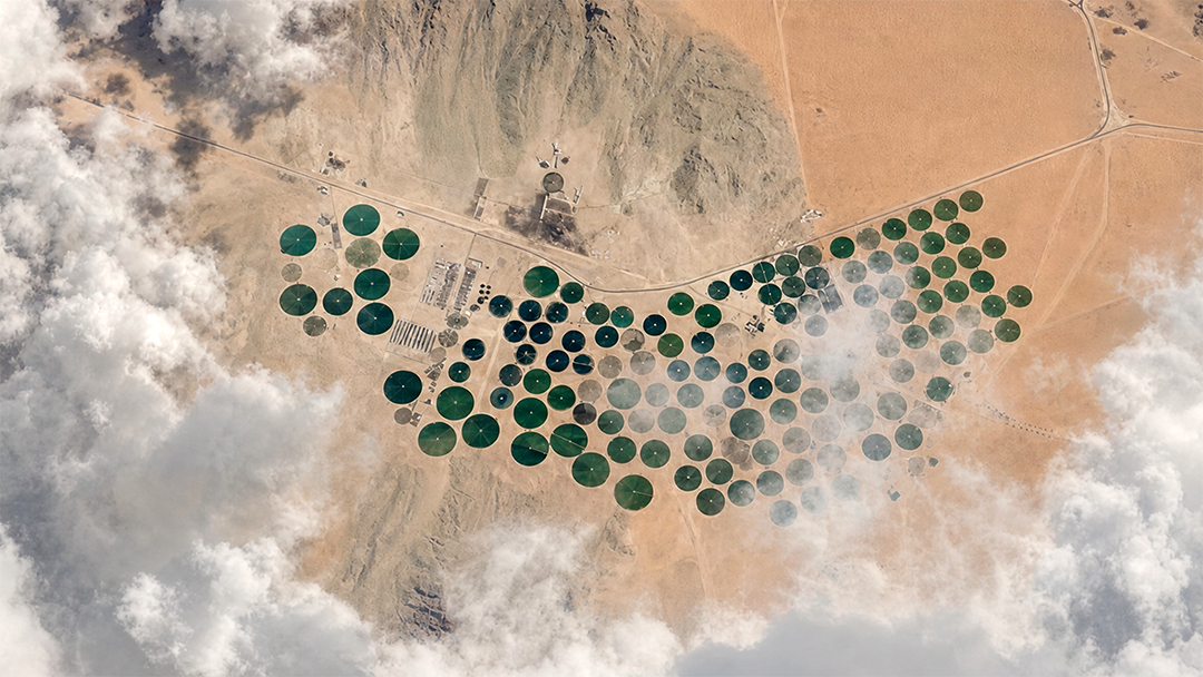
Data from space for better decisions on Earth.
Critical decisions depend on Earth data that is slow, fragmented and hard to act on
Governments and enterprises across energy, maritime, agriculture, defense and infrastructure need timely, reliable intelligence about what is happening on the ground and at sea. Raw satellite imagery is abundant but difficult to turn into decisions: it arrives fragmented, demands specialist interpretation, and rarely reaches operators fast enough to act. The Kingdom needs a sovereign, locally-provisioned source of geospatial intelligence rather than dependence on external providers.
EarthLife turns raw satellite data into intelligent, actionable workflows
EarthLife is an AI-powered geospatial analytics platform that combines optical and SAR remote sensing with AI to deliver near real-time, satellite-based insights. A smart integrated map lets users select an area, choose an analysis, create an order and receive a result, transforming operations into data-driven workflows and supporting rapid decision-making across sectors.
SARsatX in action
Optical and SAR remote sensing fused with AI, delivered via API
SARsatX provides high-resolution insights via Synthetic Aperture Radar and optical satellite technology, detecting and tracking changes with high temporal resolution. Automated insights deliver instant reports on land use, environmental shifts and infrastructure. An API-based architecture enables seamless enterprise integration and the hosting of secure, internal custom AI models. The technology has been validated through the CST Regulatory Sandbox with multiple clients.
- Sensing modalities
- Optical and Synthetic Aperture Radar (SAR) fused with AI
- Delivery
- Near real-time insights; automated reports typically within 72 hours
- Platform
- EarthLife — select area, choose analysis, create order, receive result
- Integration
- API-based architecture for seamless enterprise integration and secure custom AI models
- Regulatory status
- CST-certified provider of satellite imagery analytics; completed CST Regulatory Sandbox
- Sectors served
- Energy, Oil & Gas, Maritime, Agriculture, Environment, Mining, Defense, Infrastructure, Financial
Creating impact where it matters most
Sovereign geospatial intelligence
Providing Saudi Arabia with a locally-based, CST-certified source of satellite analytics and deep regulatory understanding.
Faster, safer operations
Detecting risks such as leaks, dark vessels or unauthorized activity in near real time to improve operational safety and cut downtime.
Multi-sector reach
Serving energy, maritime, agriculture, environment, mining, defense, infrastructure and finance from one platform.
Proven in the field
Validated in both government and private-sector operations, and used by Aramco to monitor facilities, pipelines and offshore platforms.
KAUST. On a mission for Saudi Arabia and the world.
Whether you’re a researcher, entrepreneur, industry partner or investor, we invite you to be part of the journey.
Partner With UsBuilding 34, KAUST Research & Technology Park, Thuwal 23955-6900, Kingdom of Saudi Arabia