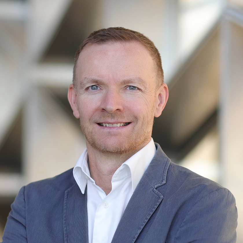
Sigurjón Jónsson
Professor, Earth Systems Science and Engineering
Physical Science and Engineering Division
“We use state-of-the-art satellite geodetic techniques to study ground deformation due to a wide variety of geophysical processes, from earthquakes to subsurface pressure changes — if it moves the ground, we are interested!”
Program Affiliations
Biography
Dr. Sigurjón Jónsson joined KAUST as a founding member in 2009, bringing expertise in volcanic and seismic processes to the Earth (Systems) Science and Engineering program. He is the principal investigator of the Crustal Deformation and Interferometric Synthetic Aperture Radar (InSAR) group, which utilizes satellite radar interferometric imaging and other geodetic techniques to observe crustal deformation and subsurface activity with unparalleled insight. Having spent his youth in Northern Iceland living near volcanoes and lava flows, Jónsson pursued a degree in geophysics at the University of Iceland to formally study his passion for earthquakes and volcanos. He went on to earn a doctoral degree in geophysics concurrently with a master's in electrical engineering at Stanford University, and was awarded a postdoctoral fellowship with Harvard in 2002. From 2004 to 2009, he worked as a senior researcher and lecturer for the Institute of Geophysics at ETH Zurich, Switzerland. Professor Jónsson’s research is published in top-tier journals with multiple contributions in Nature and Science journals.
Research Interests
Professor Jónsson uses satellite geodesy and surface imaging to study areas with significant crustal deformation, e.g., due to earthquake or volcanic activity. Geophysical processes taking place at several kilometers below the earth’s surface, such as earthquake fault slip or magma accumulation, result in deformation of the surface that can be measured using geodetic methods. Such measurements, when paired with geophysical modeling, can provide vital information on subsurface activity related to the earthquake cycle, volcanic processes, landslides and subsurface pressure changes. These results can help with natural hazard assessments and with mitigating natural disasters and resource management.
Education Profile
Ph.D. Geophysics, Stanford University, USA, 2002
M.Sc., Electrical Engineering, Stanford University, USA, 2002
M.Sc., Geophysics, University of Iceland, 1996
B.Sc., Geophysics, University of Iceland, 1994
Publications
Research Areas
- Earth Science and Engineering

